Green Tech
The ultimate guide to the Buffalo Bayou: Secrets of Houston's urban waterway are revealed
It may be that the Buffalo Bayou has earned its rightful place in the history of Houston, but even longtime residents of the city that's nicknamed after the urban waterway are often unaware of the network of amenities, points of interest and trails found along its wavy path.
A new mobile app for iPhone and Android users launched by the Buffalo Bayou Partnership aims to change that.
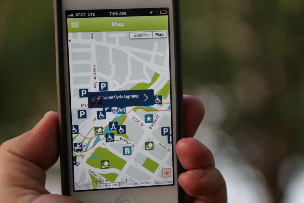
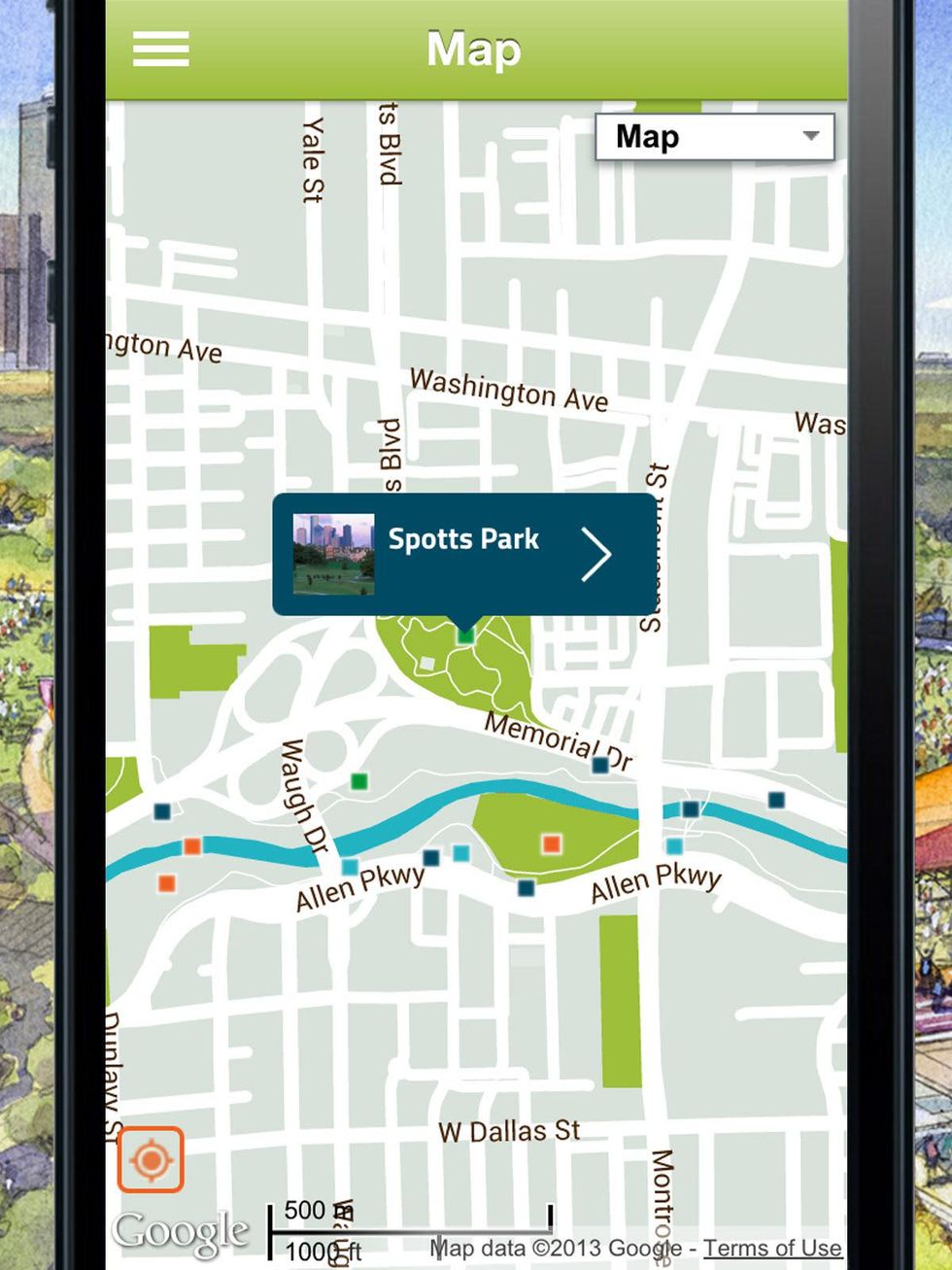
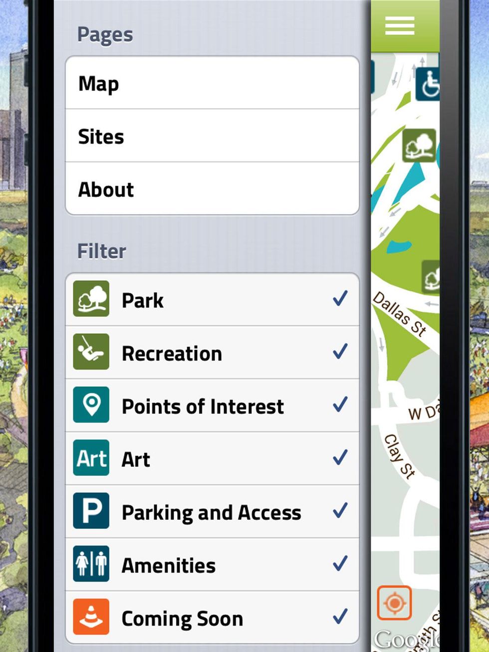
The Buffalo Bayou Guide app, developed pro bono by a group of interns at Dallas-based technology consulting firm Pariveda Solutions, hopes to serve as a geo-aware travel concierge that highlights and provides background information about parks, recreation activities, public art, parking, facilities, water fountains and future developments in the vicinity of Buffalo Bayou.
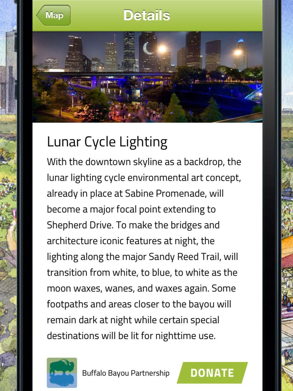
Visitors can learn about the seven sculptures by Spanish artist Jaume Plensa on view at the base of the Rosemont Bridge, the Lunar Cycle Lighting feature at the Sabine Promenade, the Federal Reserve Bank designed by Michael Graves, the peculiar attributes of the McKee Street Bridge, the historic importance of Allen's Landing, the bat colony that inhabits the Waugh Street Bridge, who's buried on the grounds of the Glenwood Cemetery . . . the list goes on and on.
"The app will eventually cover a territory that extends through Houston's East End to the Turning Basin all the way to the Ship Channel."
The guide has practical intel as well.
Need a bathroom? Check. Thirsty? The app pinpoints sites where you can get a drink of water and avoid dehydration. Looking for a wheelchair accessible trail? That's also included.
Moreover, the app is elegant, intuitive, clean and uncluttered.
The guide currently spotlights 120 locations on Buffalo Bayou Park between Shepherd Drive and U.S. Route 59, including 15 public art installations and landmarks plus 15 parks. But plans are underway to roll out updates that expand its database.
"The app will eventually cover a territory that extends through Houston's East End to the Turning Basin all the way to the Ship Channel," Trudi Smith, director of public relations and events, tells CultureMap.
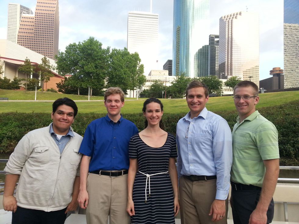
The interface was developed by five college students during an 11-week internship at Pariveda under the supervision of solutions manager David Morris. The team — Jessie Penilla of the University of Houston, Travis Purcell of the Texas A&M University, Maribeth Rauh of Notre Dame, Jeff Potter of Brigham Young University and Mackenzie Cope of Brigham Young University — partnered with the Buffalo Bayou Partnership to execute a project through which the members would gain real world experience as technology consultants.
The software references data collected in Google Maps Engine and uses the familiar Google Maps API to present the curated platform to the end user. CORE Design Studio conceived the look and feel of the graphic elements to align with Buffalo Bayou Partnership's current visual identity.
Curious to test drive the app? iPhone, iPod Touch and iPad users may download the free Buffalo Bayou Guide here, Android users click here.
