know before you go
Houston weather experts forecast when scorching temps will finally cool this week

ABC13's experts predict when the triple digits will finally fall.
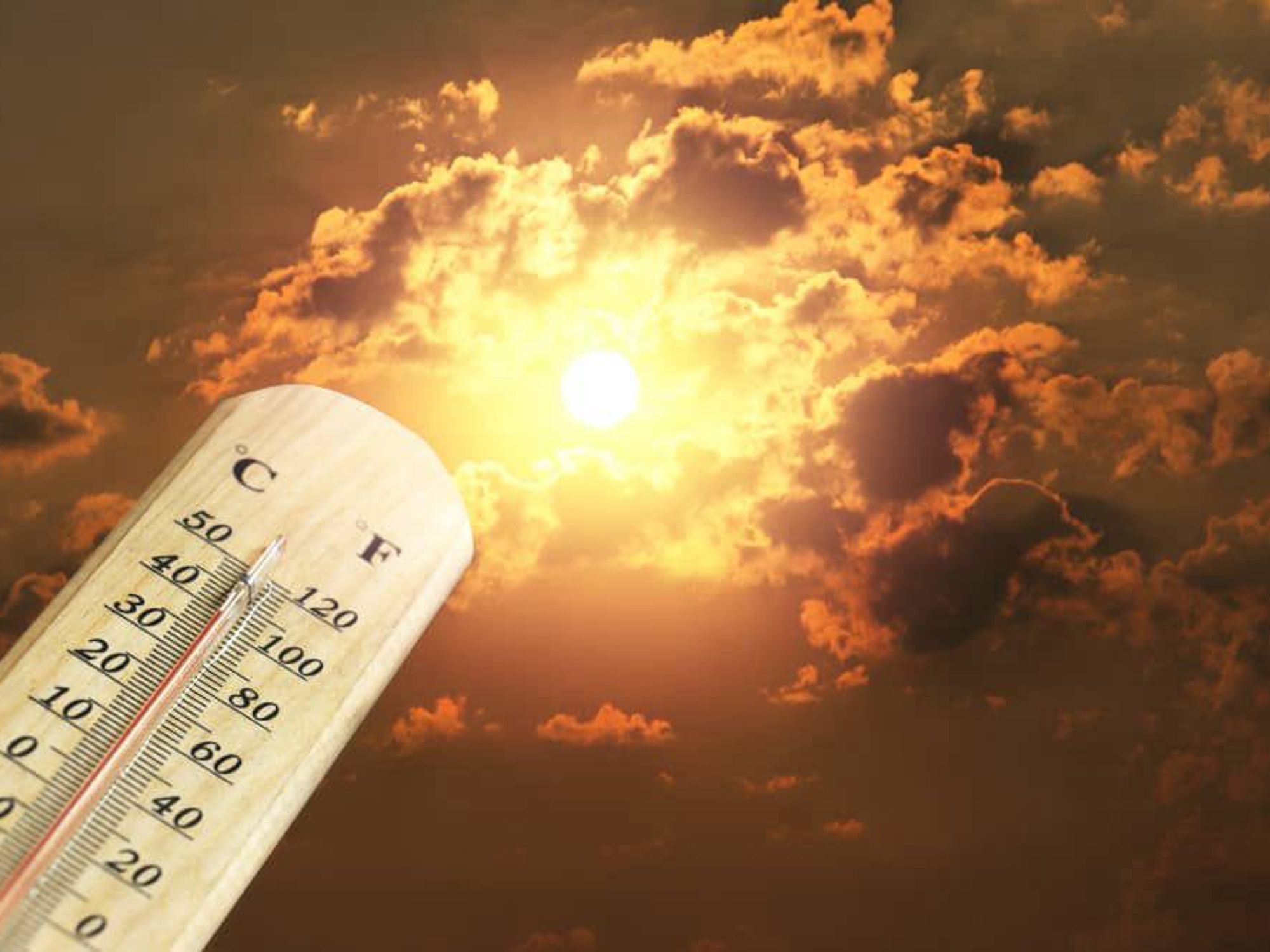
Houston's Excessive Heat Warning has been extended through at least 8 pm Tuesday, June 20, with a possibility of even longer through the week.
With heat index values ranging between 102 to 112 during peak hours of the day, we could also see triple-digit temperatures to this week with the hottest stretch of this heat wave yet to come.
Our workweek (Monday, June 19) kicks off the hottest stretch of this early summer heat wave, where afternoon high temperatures could finally reach the triple digits. This also means the afternoons could be quite a scorcher, with heat index values making it feel like 110 degrees.
This kind of heat continues through Wednesday, June 21; after that, dewpoints will finally drop by week's end to give us a break from the extreme heat.
Will this Excessive Heat Warning continue to be extended?
Likely, yes. An Excessive Heat Warning is issued when the heat index is expected to reach 113 or hotter. We know it always gets hot in Houston every summer, but this is extreme even for our standards, so please take all necessary precautions to protect yourself from heat illness. Stay hydrated, take frequent breaks when working outside, wear light colored clothing, and protect yourself from the sun. The last time we had an Excessive Heat Warning for Houston was back in 2016.
When could we get some rain and heat relief?
Our confidence is growing that the heat ridge will migrate west of Texas by the middle of the week, and this will allow a weak front to blow in from the northeast. Heat index values will fall down closer to100 with air temps dropping into the mid 90s as slightly drier air filters in behind the front.
-----
Continue reading this news story, with video and weather updates, on our news partner ABC13..

 June Rodil is a James Beard finalist. Courtesy of Goodnight Hospitality