Guatemala Travel
Bucket list travel: The most beautiful lake in the world lives up to its name with spectacular views
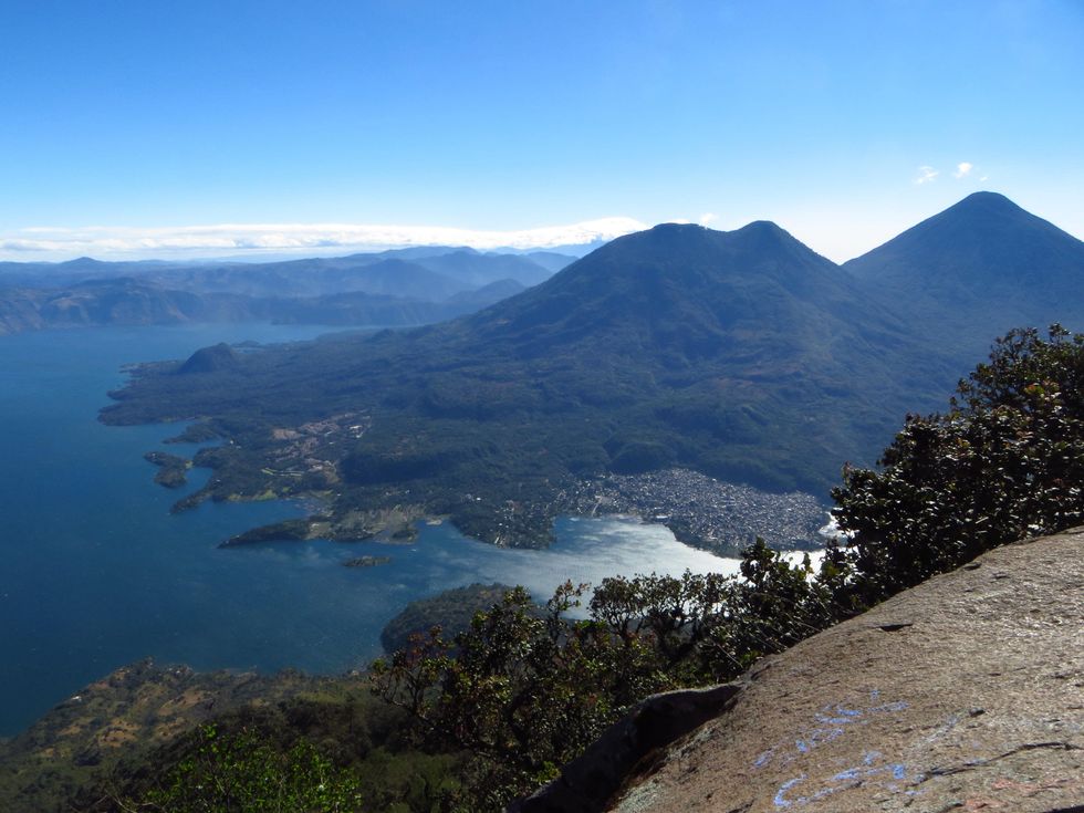
Lago de Atitlán has been called the “most beautiful lake in the world” and after we finally laid eyes on it ourselves, we wholly agreed. This enormous body of water is the showpiece of the central highlands of Guatemala with its blue waters cradled by steep mountains and classic volcanoes. Small villages cling to its convoluted shores where Mayan traditions are alive and flourishing.
This enormous body of water is the showpiece of the central highlands of Guatemala with its blue waters cradled by steep mountains and classic volcanoes.
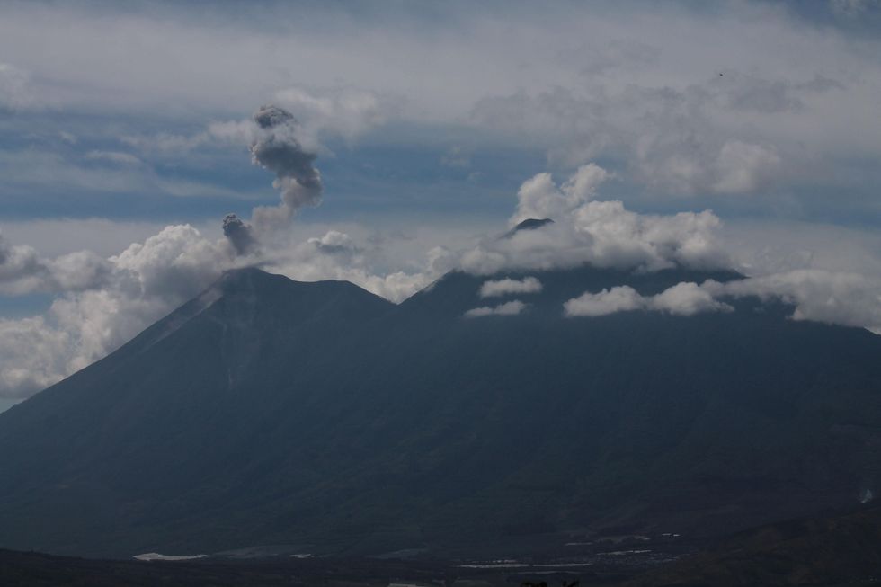
The deep lake formed during intense volcanic activity within the past two million years when a massive caldera filled with water. Volcanic activity continues to this day on Atitlán Volcano and even the lake levels vary, rising dramatically within the last decade during tropical storms.
Our trip to this bucket list destination started in Guatemala City where we loaded into the cheapest rental we could find and headed east on the Pan-American Highway through Chimaltenango and Tecpan. The excellent road climbed into the highlands and we made good progress, but the bald tires started shaking at 55 mph, so we settled for a comfortable 50 mph, watching pine forest and roadside stands drift past.
One of the best stops en route for victuals is the Restaurant Rincon Suizo at kilometer 94. The large log building on the east side of the road is obvious and lots of locals stop here, creating a bit of traffic that cannot be missed. The restaurant is well known for its delicious crepes (served all day) and we can also vouch for the quality coffee. Walking trails behind the restaurant lead into surprisingly peaceful forest and invite for a perfect post-meal stroll.
Getting settled
Panajachel on the northern shore of Lake Atitlán marks the transportation hub for the region and nearly all visitors pass through the city at least once. We reached the turnoff to the town after dark and descended via hairpin turns towards the lake below.
Panajachel is more crowded and noisier than many of the lakeside villages, but offers a wide variety of places to stay and chances to stock up on missing gear. It’s a great place to get one’s feet wet and brush up on those rusty Spanish phrases. We finally caught our first glimpses of the lake the following morning. Shimmering water stretched out in front of silhouetted volcanoes and mountains.
Lots of visitors move on to other points on the lake quickly, but within walking distance to the west of Panajachel lies the Atitlán Nature Reserve. Here, a butterfly house reveals winged marvels and the gardens make an ideal picnic spot. Good hiking trails lead into beautiful forest with vistas of the lake below. For adrenaline junkies, hiking to the top and descending via zip-lines, offer a fun morning.
Getting around the lake
The lake is not just the major attraction, but also supports the main mode of transport between villages. From Panajachel, ferry boats ply the lake in all directions and a 45-minute boat ride will take travelers to any of the other villages on the lake. Crossing the choppy water by boat reveals dramatic vistas.
We, of course, like to do things backward and decided to tackle the torturous mountain roads, driving around the western side of the lake. The route climbed, dropped, climbed some more, and then plunged in tight curves along a road that had more potholes than flat pavement (now we knew why visitors take the efficient ferries). We rolled into San Pedro nevertheless, likely with another inch of rubber shaved off the weakening tires, and settled in for a few nights.
To the volcanic top
We wandered along the twisting paths of San Pedro La Laguna, looking for a place to eat among the many choices, ranging from local chicken and rice to total vegan. Eventually, we settled on a basic burger and fries, not for lack of creativity, but we were hungry.
We noticed plenty of hippies wandering around. It made sense.
During our first afternoon getting oriented and organizing food for the next day, we noticed plenty of hippies wandering around. It made sense. A small village at the end of the road with plenty of affordable accommodations and economical food, five burritos with refried beans for a dollar for example, would attract a steady stream of budget travelers. Later we learned that a full moon party had just finished, explaining the high concentration of dreadlocks.
The small village of San Pedro sits along the western edge of Lago de Atitlán. San Pedro Volcano towers above the town of motley buildings and cobblestone streets. One of the most popular destinations is the top of the volcano, which offers spectacular views of the lake.
View must be earned
The view must be earned with a 3-mile hike covering nearly 4000 feet elevation gain, think serious incline. It’s recommended to organize a trek with a local guide as it benefits the community and also supports maintenance of the trail. The guide offices can be found right at the base of the dock in town.
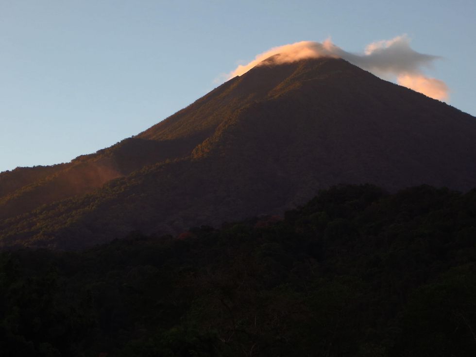
The trek commenced in complete darkness when our local guide, Peneleu, arrived in a tuk-tuk with a driver. We jumped in and raced through the narrow roads towards the volcano, its conical shadow looming above. The road out of town wound along the lower flank of the stratovolcano until we reached the park’s visitor center and trailhead. We shouldered our small backpacks and for the next two hours marched nonstop up the steep slope.
The trail turned from tough to grueling, but we slugged on.
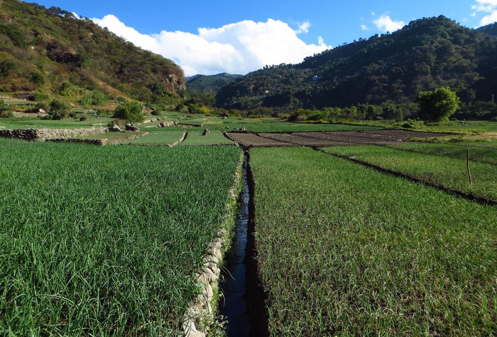
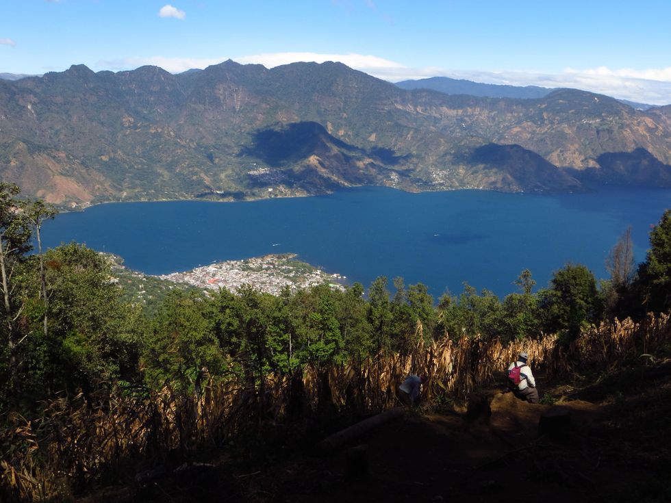
The trail passed through avocado plantations before crossing cornfields higher up. We reached a lookout point at the edge of the cloud forest before sunrise and looked down at Lago de Atitlán, its rugged, black shape outlined by the twinkling lights of the many small villages along the shore.
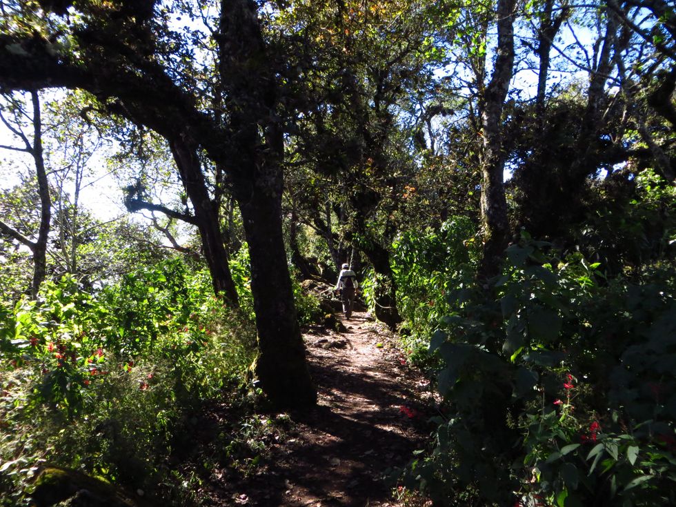
We refueled with some snacks, sucked up the thinning air, and then continued with flagging legs. Around sunrise we were hiking within fairytale cloud forest with the cool air settling as fog among the enormous tree trunks. The trail turned from tough to grueling, but we slugged on.
Hikers, speaking a variety of European languages, were passing us and one group was already coming back down, having apparently reached the top at sunrise! In typical European bravado they set forth in sandals without any hint of a backpack, water, or food. While catching our breath on shaky legs, we pretended to enjoy the scenery. I assumed Peneleu, who didn’t show the slightest sign of exertion, wondered why these two gringos just can’t walk.
We passed the only flat spot en route, which serves as a campsite. Another group of Europeans was just packing up, apparently having lugged tents, sleeping bags, and more almost all the way to the top. Our guide ensured us that it was only another fifteen minutes, a phrase he had been repeating for the last hour, but finally we walked along a short ridge and stood on top.
The view down to the lake was mind-blowing with the sharp light bouncing blindingly off its surface. To the east rose the hulking cones of Toliman and Atitlán Volcano, both higher and more impressive than the volcano we stood on. The wind picked up and after an hour on top we began the inevitable descend. Passing through the fields again about halfway down, we saw a local farmer tending his crops barefoot. Likely he walked up every day, putting our hike into perspective.
We spent the rest of the afternoon stretched out in lawn chairs fronting the lake and watched the strong winds whip up whitecaps.
And there is more
Other possible hikes in the area include a tramp up to Indian Nose, especially recommended for sunrise. With more time it is possible to explore the other villages surrounding the lake, each with its own traditions and vibes.
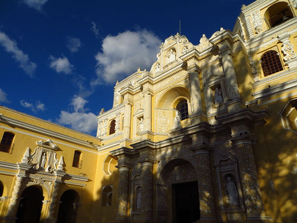
Of course a visit to historic Antigua, a UNESCO World Heritage Site, is a must. Antigua lies about one hour and a half to the east of Panajachel. The Central Highlands of Guatemala have plenty to offer to keep even the hardiest of travelers busy for weeks.
